1/0
Beskrivning
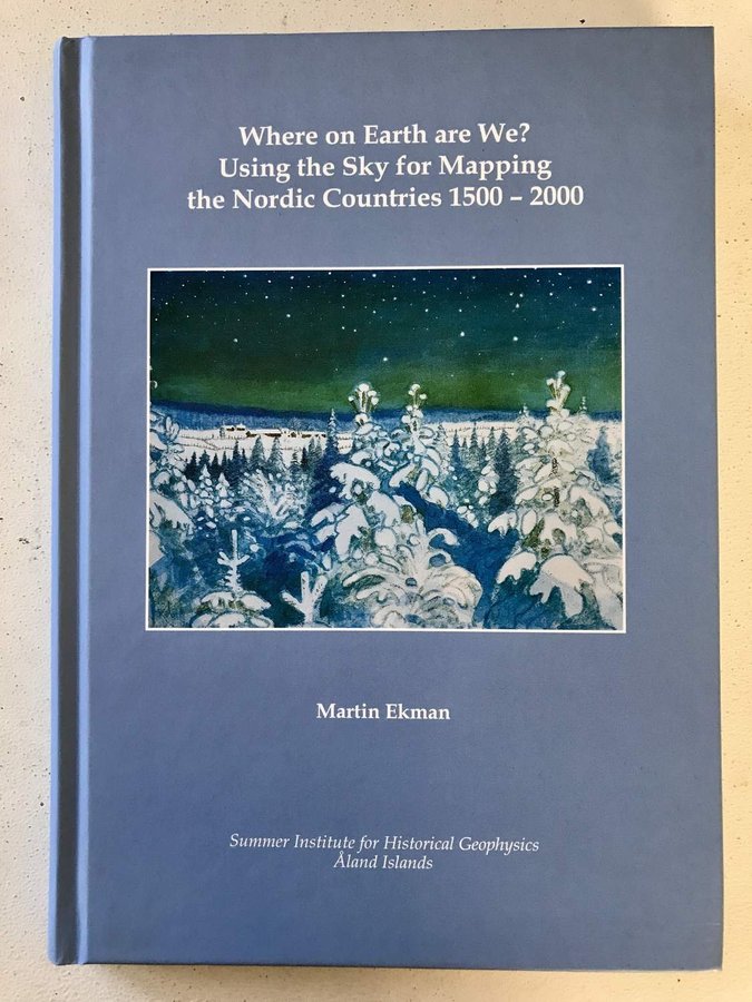
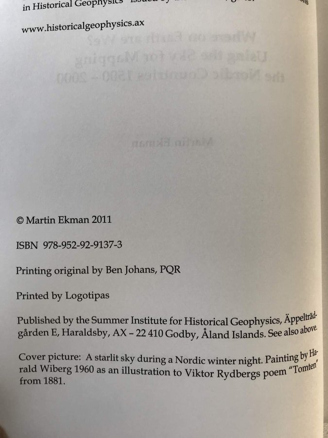
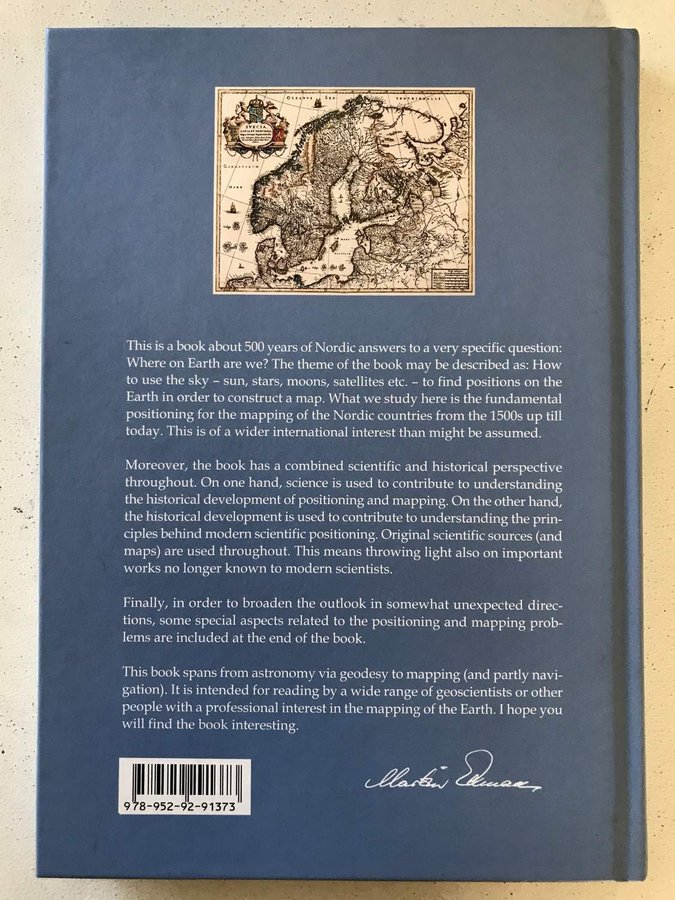
This is a book about 500 years of Nordic answers to a very specific question: Where on Earth are we? The theme of the book may be described as: How to use the sky - sun, stars, moons, satellites etc. - to find positions on the Earth in order to construct a map. What we study here is the fundamental positioning for the mapping of the Nordic countries from the 1500s up till today. This is of a wider international interest than might be assumed. Moreover, the book has a combined scientific and historical perspective throughout. On one hand, science is used to contribute to understanding the historical development of positioning and mapping. On the other hand, the historical development is used to contribute to understanding the principles behind modern scientific positioning. Original scientific sources (and maps) are used throughout. This means throwing light also on important works no longer known to modern scientists. Finally, in order to broaden the outlook in somewhat unexpected directions, some special aspects related to the positioning and mapping problems are included at the end of the book. This book spans from astronomy via geodesy to mapping (and partly navigation). It is intended for reading by a wide range of geoscientists or other people with a professional interest in the mapping of the Earth. The book is published by the Summer Institute for Historical Geophysics, Åland Islands. SE BILDER FÖR MER INFORMATION. JAG ANVÄNDER TRADERAS AUTOMATISKA VINNARMAIL! :*¨¨*:·. .·:*¨¨*:·. .·:*¨¨*:·. .·:*¨¨*:·. .·:*¨¨*:·. .·:*¨¨*:·. .·:*¨¨*:·. .·:*¨ Jag delar inte på annonser med fler än en bok. Förskottsbetalning inom 5 dagar. FRAKTFRITT! (Inom Sverige, free shipping only in Sweden) Sampackar alltid. Frakt och emballage ingår ALLTID. Jag väljer den lämpligaste frakten och packar med största noggrannhet. Jag säljer endast begagnade objekt. Min värdering: Nyskick - NM, som ny, helt utan skador. :*¨¨*:·. .·:*¨¨*:·. .·:*¨¨*:·. .·:*¨¨*:·. .·:*¨¨*:·. .·:*¨¨*:·. .·:*¨¨*:·. .·:*¨WHERE ON EARTH ARE WE? Using the Sky for Mapping the Nordic Countries 1500-2000
av Martin Ekman
Tryckt 2011.
Kartonnage i mycket gott skick, mindre bruksspår.
Mycket gott skick - Toppexemplar, mycket små skador. Ex tillskrift, namn.
Gott skick - Fint exemplar, inga större skador. Normalslitage.
Hyfsat skick - Mer sliten än normalt, ex riss, många veck, klotter.
Dåligt skick - Dåligt skick, ex tejp, bitar fattas, trasig.
OBS! FRAKTEN INGÅR I PRISET!
Jag skickar främst med Postnord.
Det är köparens ansvar att ha rätt adressuppgifter.
Som köpare har du 14 dagars ångerrätt enligt lag när du köper från mig.
Vid retur är det du som köpare som står för frakten och jag återbetalar pengarna inom 30 dagar. Detta betyder att du som köpare kan känna en trygghet när du köper varor från mig, då du som köpare har rätten att ångra ditt köp om varan inte uppfyller de förväntningar du hade på den när du genomförde köpet.
Mer från säljaren
 Fri frakt170 krKöp nu


